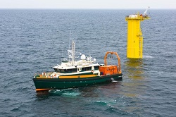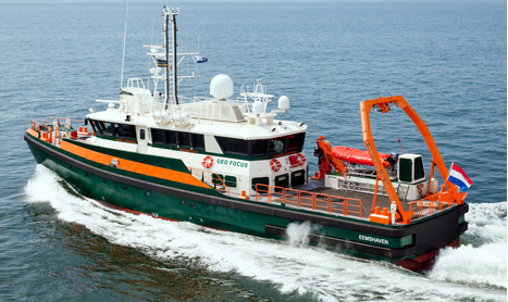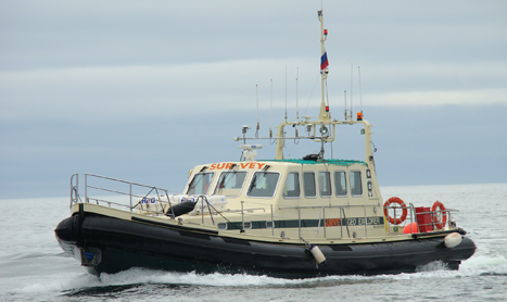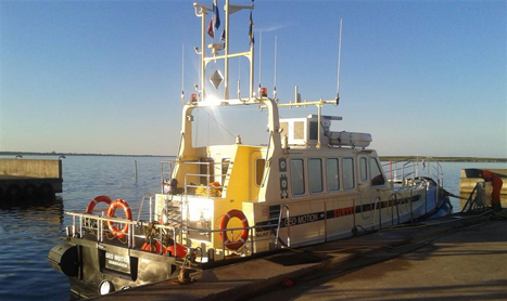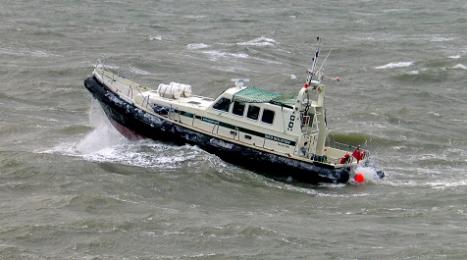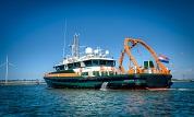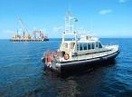
In december 2015 Geo Plus completed succesfully two large survey projects for Rijkswaterstaat, after a contract of two years.
The first project was the sea floor mapping of the port of Rotterdam, one of the main ports of Europe, located at one of the busiest waterways world wide.
Based on the data of Geo Plus, the port authority is able to give an underwater clearance to all ships entering the port.
The other project was to obtain hydrographic information with a multibeam system of the Dutch inland waterways.
For more information about the waterprojects of Rijkswaterstaat, please click here
